
Limerick c. 840 to c. 1900: Viking longphort to Victorian city
Limerick c. 840 to c. 1900: Viking longphort to Victorian city
Couldn't load pickup availability
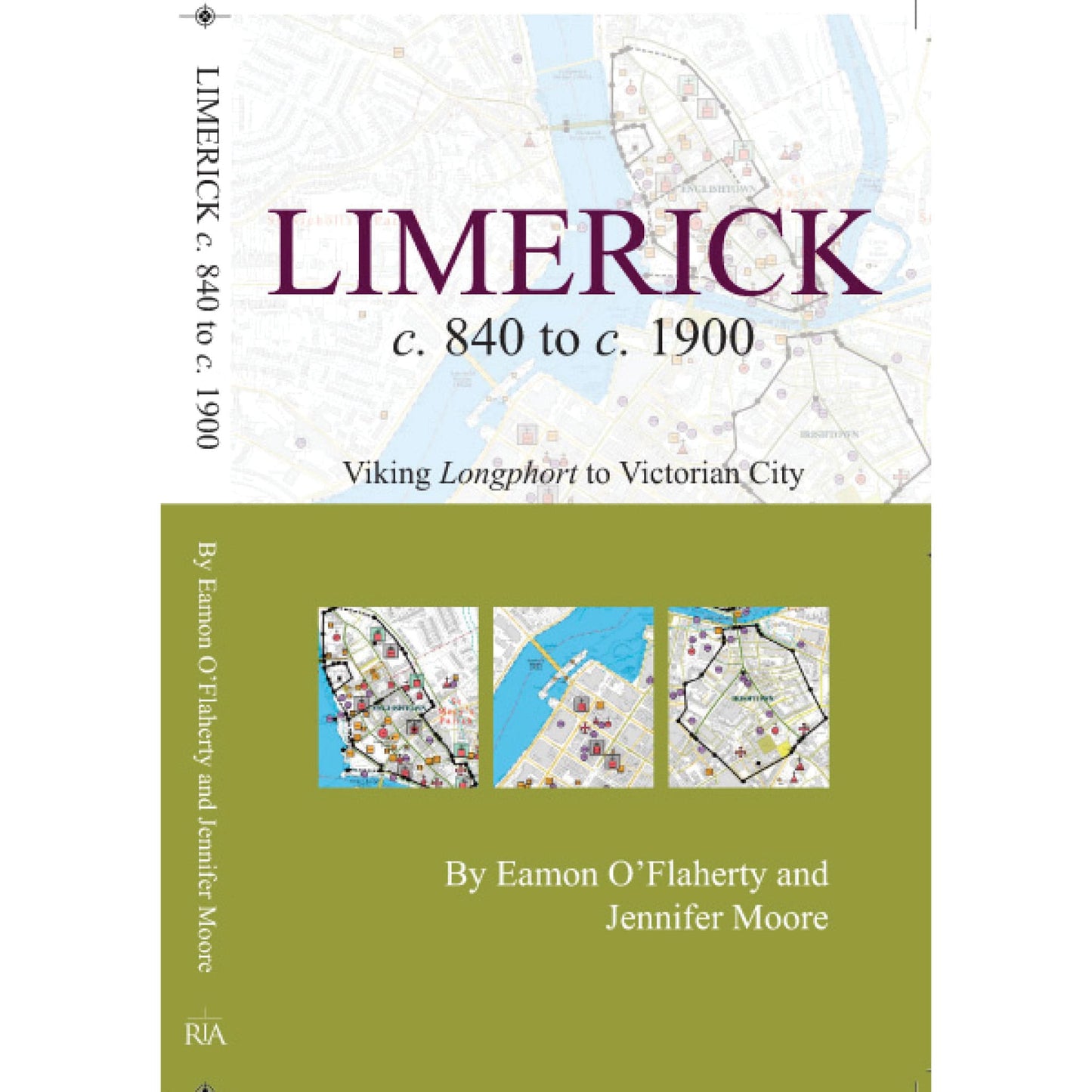
This is an ancillary publication to the enthusiastically received volume on ‘Limerick’ by Eamon O’Flaherty. A transportable booklet that lends itself to strolling the city, enclosed is a large fold-out map capturing 264 sites over 1000 years of the city’s history. Streets are colour coded to show the development of the city from a conjectural Viking settlement, to the vast rectilinear network of streets and warrens of lanes of the eighteenth and nineteenth centuries. Limerick’s walls and defences are illustrated alongside the principal topographical sites ranging from St Mary’s Cathedral, ball alleys, bacon manufactories and Turkish baths, to schools, prisons, tower houses, markets and monuments. An introductory essay is included in the booklet that is intended to give readers a full flavour of Limerick’s past. Many of the sites documented are no longer extant, but will enlighten anyone’s interest in the city’s multilayered past. This is ancillary publication to Irish Historic Towns Atlas, no. 21, Limerick, by Eamon O'Flaherty.
Authors: Eamon O'Flaherty, Jennifer Moore; Cartography: Sarah Gearty
Series editors: Anngret Simms, H.B. Clarke, Raymond Gillespie, Jacinta Prunty; Consultant editor: J.H. Andrews; Cartographic editor: Sarah Gearty; Editorial assistants: Angela Murphy, Jennifer Moore, Anne Rosenbusch.
The Irish Historic Towns Atlas is a research project of the Royal Irish Academy and is part of a wider European scheme. www.ihta.ie.
Product details
ISBN:9781904890713
Browse Books
-
For and against a united Ireland
Regular price From €9.99 EURRegular priceUnit price per -
Ireland: Why it matters to be an island
Regular price From €9.99 EURRegular priceUnit price per -
Drumcondra
Regular price €35.00 EURRegular priceUnit price per -
An spórt agus an réabhlóid in Éirinn, 1912–25
Regular price From €9.99 EURRegular priceUnit price per


