

Drumcondra
Drumcondra
Couldn't load pickup availability
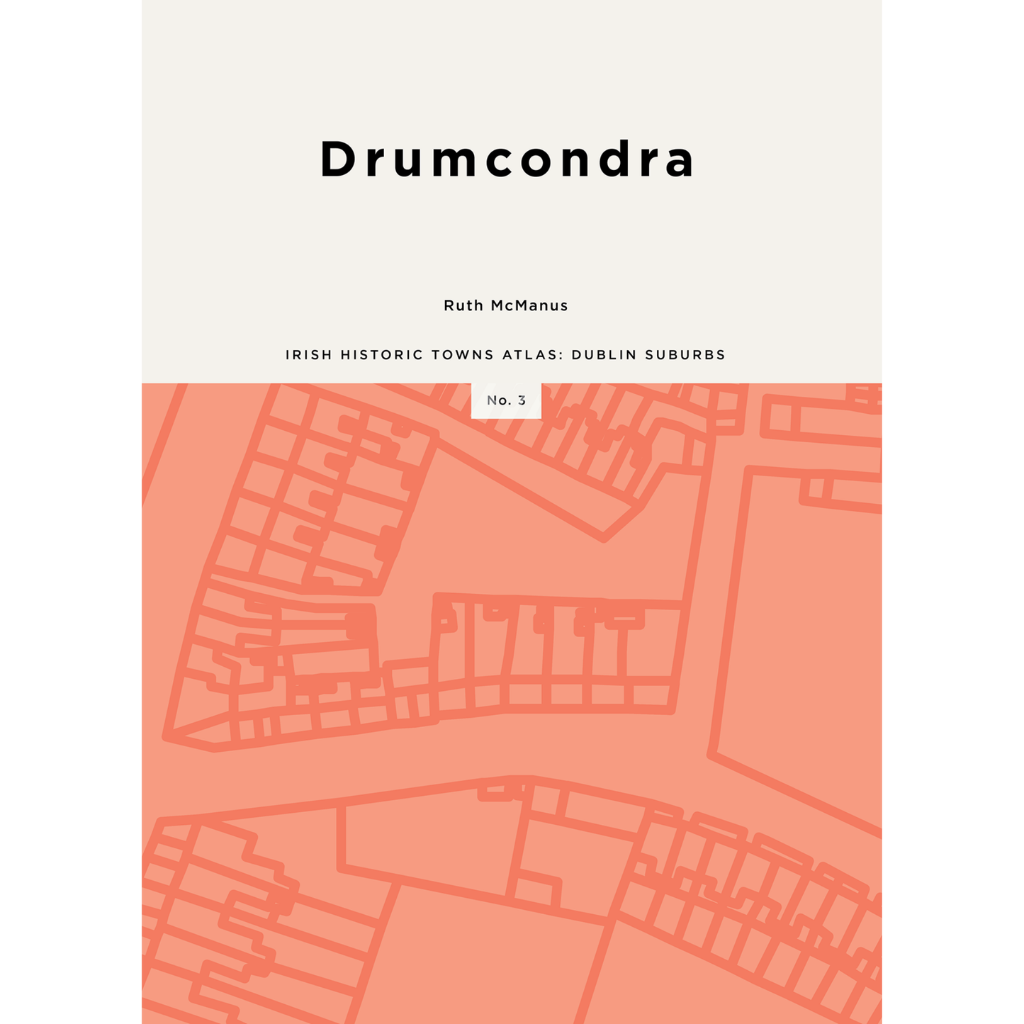
This atlas of Drumcondra presents the story of the celebrated suburb in word, map and image. Drumcondra’s evolution from agricultural hinterland to township to Dublin suburb is explained and illustrated with thematic maps and views. A series of historic maps shows the topographical development of the district, with the influences of both river and routeway persisting even as the rural landscape became overlaid with institutional, industrial, recreational and residential uses. Drumcondra follows Clontarf and Rathmines as the third in a series of atlases devoted to Dublin suburbs under the auspices of the Irish Historic Towns Atlas research programme.
The Irish Historic Towns Atlas is a long-term research programme of the Royal Irish Academy. Since publication began in 1986, over 30 atlases of Irish towns, cities and suburbs, north and south, have been published. The atlases are produced following basic principles, making it possible to compare and contrast places with one another. Over 620 European towns and cities have been produced as part of a wider International scheme.
Irish Historic Towns Atlas, Dublin suburbs, no. 3, Drumcondra, by Ruth McManus is published by the Royal Irish Academy in association with Dublin City Council
See www.ihta.ie for more information
Author: Ruth McManus
Editor: Colm Lennon
Cartographic editor: Sarah Gearty
Editorial assistants: Angela Byrne
Product details
ISBN:9781802050547
Publication Date:November 12, 2026
Number of pages:192

Ruth McManus
Browse Books
-
The Downing Street Declaration and the origins of the Northern Ireland peace process
Regular price €25.00 EURRegular priceUnit price per -
Ireland: Why it matters to be an island
Regular price From €9.99 EURRegular priceUnit price per -
Drumcondra
Regular price €35.00 EURRegular priceUnit price per -
An spórt agus an réabhlóid in Éirinn
Regular price From €9.99 EURRegular priceUnit price per


