
Dundalk: Irish Historic Towns Atlas, no. 16
Dundalk: Irish Historic Towns Atlas, no. 16
Couldn't load pickup availability
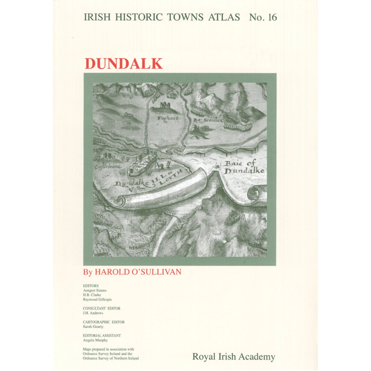
Number 16 in the Irish Historic Towns Atlas series, Dundalk records the topographical development of this Anglo-Norman town in the north-east. The text section lists historical and archaeological details of over 1300 sites and presents an informative essay tracing Dundalk's evolution, from its origins as a medieval borough to its expansion in the nineteenth-century as an industrial center. Historical maps are presented in color on 15 large-format sheets. Thematic maps and views highlight particular aspects of the town's history. Among this rare collection of old maps are Dundalk in 1594 and a large colour reconstruction of the town in c. 1835. Maps of the Clanbrassil estate from 1777 and c. 1785 are provided alongside Ordnance Survey maps, with smaller black and white maps dotted through the text section. Late nineteenth-century photographs of Dundalk and an aerial view further enrich the reader's knowledge of the town. Maps are bound in a large A3 folder.
Author: Harold O'Sullivan; Series editors: Anngret Simms, H.B. Clarke, Raymond Gillespie; Consultant editor: J.H. Andrews; Cartographic editor: Sarah Gearty; Editorial assistant: Angela Murphy.
The Irish Historic Towns Atlas is a research project of the Royal Irish Academy and is part of a wider European scheme. www.ihta.ie.
Product details
ISBN:9781904890195
Browse Books
-
For and against a united Ireland
Regular price From €9.99 EURRegular priceUnit price per -
Ireland: Why it matters to be an island
Regular price From €9.99 EURRegular priceUnit price per -
Drumcondra
Regular price €35.00 EURRegular priceUnit price per -
An spórt agus an réabhlóid in Éirinn, 1912–25
Regular price From €9.99 EURRegular priceUnit price per


