
Dungarvan: Irish Historic Towns Atlas, no. 30
Dungarvan: Irish Historic Towns Atlas, no. 30
Couldn't load pickup availability
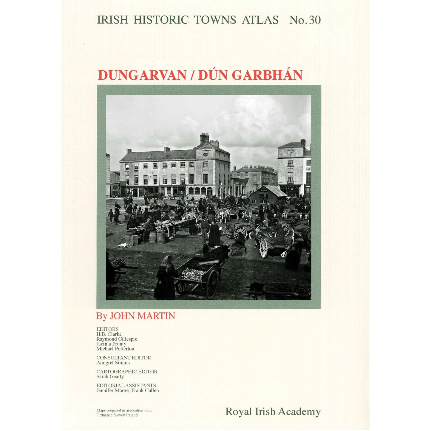
The vibrant market town of Dungarvan, Co. Waterford, with its striking topography, is the subject of the latest addition to the Irish Historic Towns Atlas series. Founded at the beginning of the thirteenth century, Dungarvan began as an Anglo-Norman settlement and that legacy is still evident in its townscape today, where the street pattern, castle and abbey are reminders of its medieval heritage. Developments by the duke of Devonshire in the early nineteenth-century led to the construction of the town's iconic square. The story of the shaping of the present-day town is told through the atlas, where historic maps and views are presented on large-format loose sheets and are accompanied by a detailed text.
This eagerly awaited publication represents several years of research, editing and cartography and will see Dungarvan join c. 560 towns and cities internationally that have been produced as part of the wider European Historic Towns Atlas scheme.
Irish Historic Towns Atlas, no. 30, Dungarvan/Dún Garbhán, by John Martin is published by the Royal Irish Academy, in association with Waterford City and County Council. Maps prepared in association with Ordnance Survey Ireland.
Series editors: Raymond Gillespie, Howard Clarke, Michael Potterton; consultant editor: Anngret Simms; cartographic and managing editor: Sarah Gearty; editorial assistants: Jennifer Moore, Frank Cullen.
The Irish Historic Towns Atlas is a research project of the Royal Irish Academy. Visit www.ihta.ie for more information.
Praise for IHTA, no. 30, Dungarvan/Dún Garbhán:
Dr Mary Canning, President, Royal Irish Academy said,
"As President of the Royal Irish Academy, I welcome the publication of Dungarvan as no. 30 in our Irish Historic Towns Atlas series and congratulate author John Martin. With its own unique heritage, this work on Dungarvan will broaden our understanding of urban life here in Ireland and also internationally, where Dungarvan may now be compared with over 560 other towns covered by the European Historic Towns Atlas scheme."
Councillor Damien Geoghegan, Mayor of Waterford stated,
"As Mayor of Waterford I am delighted to see the release of the Irish Historic Towns Atlas of Dungarvan and being a native of the town itself it gives me even greater pleasure to see this project come to fruition. I wish to commend its author John Martin, and all who worked on this project with the Royal Irish Academy, and I know it has taken 10 years of painstaking research by John , it will be wonderful to now have the Atlas in print, in addition to the interactive map that was launched during Heritage Week, on the great town that is Dungarvan. I have no doubt, but it will serve as an extremely-useful tool in education and research and will assist those seeking to learn more about their own heritage as well as visitors to Dungarvan."
As we look to preparing a new Development Plan for Waterford City and County in 2020 the launch of the Historic Towns Atlas for Dungarvan reminds us of the importance of understanding the evolution of a townscape and the influences of land management and human input to the social and economic fabric of an urban area. Thanks to the Royal Irish Academy and the wonderful research and dedication of John Martin we now have a rich compendium on Dungarvan that will provide a fantastic learning resource for anyone interested in local history, urban development and our built and cultural heritage.? said Bernadette Guest, Heritage Officer for Waterford City and County Council.
Product details
ISBN:9781911479376

John Martin
Browse Books
-
For and against a united Ireland
Regular price From €9.99 EURRegular priceUnit price per -
Ireland: Why it matters to be an island
Regular price From €9.99 EURRegular priceUnit price per -
Drumcondra
Regular price €35.00 EURRegular priceUnit price per -
An spórt agus an réabhlóid in Éirinn, 1912–25
Regular price From €9.99 EURRegular priceUnit price per


