
Dublin c.840-c.1540: the medieval town in the modern city
Dublin c.840-c.1540: the medieval town in the modern city
Regular price
€10.00 EUR
Regular price
Sale price
€10.00 EUR
Unit price
per
Couldn't load pickup availability
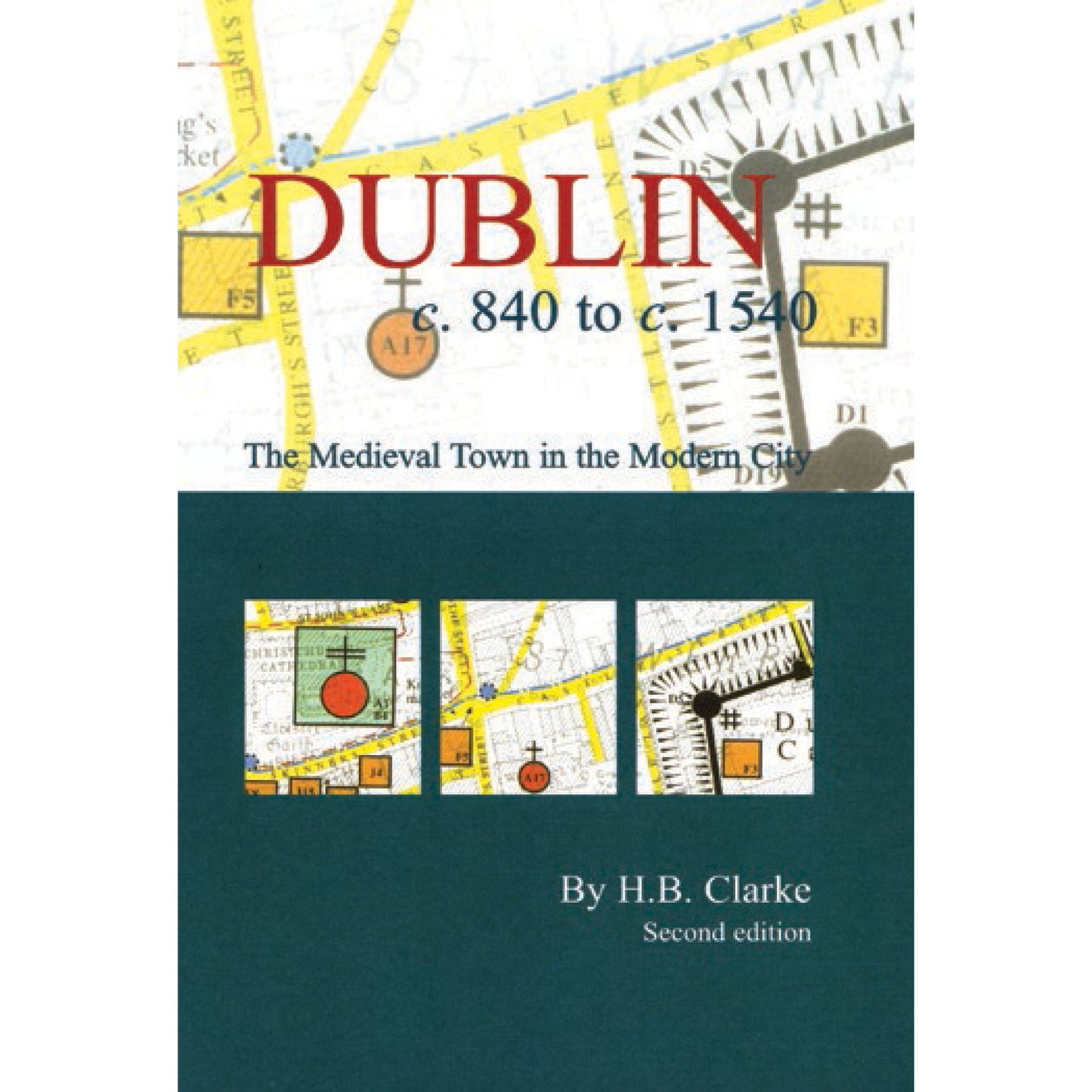
This map and booklet offers a profound visual insight into medieval Dublin. The results of historical research and archaeological exploration are revealed in the form of bright colours and symbols representing features from the city's Gaelic, Viking, Hiberno-Norse, Anglo-Norman and Anglo-Irish past. The information is superimposed on a more modern base map so the hidden medieval urban landscape can be put in context. The map is complemented by a detailed index and introductory booklet. It is an ancillary publication to Irish Historic Towns Atlas, no. 11, Dublin, part I, to 1610 by H.B. Clarke.
Author: H.B. Clarke; Cartography: Sarah Gearty
Series editors: Anngret Simms, H.B. Clarke, Raymond Gillespie; Consultant editor: J.H. Andrews; Cartographic editor: Sarah Gearty; Editorial assistant: Angela Murphy.
The Irish Historic Towns Atlas is a research project of the Royal Irish Academy and is part of a wider European scheme. www.ihta.ie.
Product details
ISBN:9781874045991

Howard B. Clarke
Browse Books
-
For and against a united Ireland
Regular price From €9.99 EURRegular priceUnit price per -
Ireland: Why it matters to be an island
Regular price From €9.99 EURRegular priceUnit price per -
Drumcondra
Regular price €35.00 EURRegular priceUnit price per -
An spórt agus an réabhlóid in Éirinn, 1912–25
Regular price From €9.99 EURRegular priceUnit price per


