
Dublin 1610 to 1756: the making of the early modern city
Dublin 1610 to 1756: the making of the early modern city
Couldn't load pickup availability
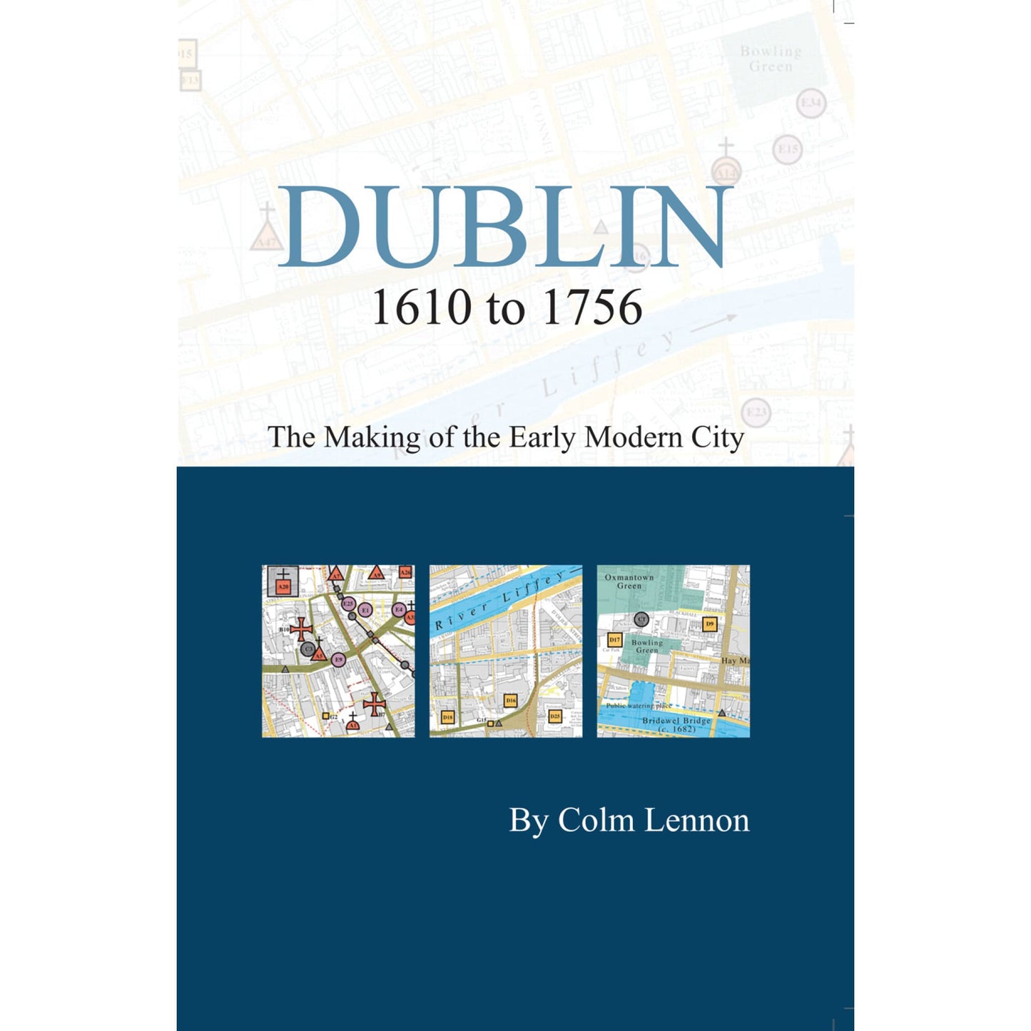
This is the second Dublin pocket map to be published in the Irish Historic Towns Atlas series. It follows on from 'Dublin c. 840 to c. 1540: the medieval town in the modern city' (2002) and maps a further 180 topographical features of the city for the period 1610 to 1756. The booklet contains a commentary on the urban development of Dublin and a chronological index to sites. The accompanying foldout map pinpoints features on a modern base. Colour-coded streets indicate the start of the Georgian expansion of the urban core from medieval to early modern Dublin. This is an ancillary publication to Irish Historic Towns Atlas, no. 19, Dublin, part II, 1610 to 1756 by Colm Lennon.
Author: Colm Lennon; Cartography: Sarah Gearty
Series editors: Anngret Simms, H.B. Clarke, Raymond Gillespie, Jacinta Prunty; Consultant editor: J.H. Andrews; Cartographic editor: Sarah Gearty; Editorial assistants: Angela Murphy, Angela Byrne, Jennifer Moore.
The Irish Historic Towns Atlas is a research project of the Royal Irish Academy and is part of a wider European scheme. www.ihta.ie.
Product details
ISBN:9781904890614

Colm Lennon
Browse Books
-
For and against a united Ireland
Regular price From €9.99 EURRegular priceUnit price per -
Ireland: Why it matters to be an island
Regular price From €9.99 EURRegular priceUnit price per -
Drumcondra
Regular price €35.00 EURRegular priceUnit price per -
An spórt agus an réabhlóid in Éirinn, 1912–25
Regular price From €9.99 EURRegular priceUnit price per


