Carlingford: Irish Historic Towns Atlas, no. 23
Carlingford: Irish Historic Towns Atlas, no. 23
Couldn't load pickup availability
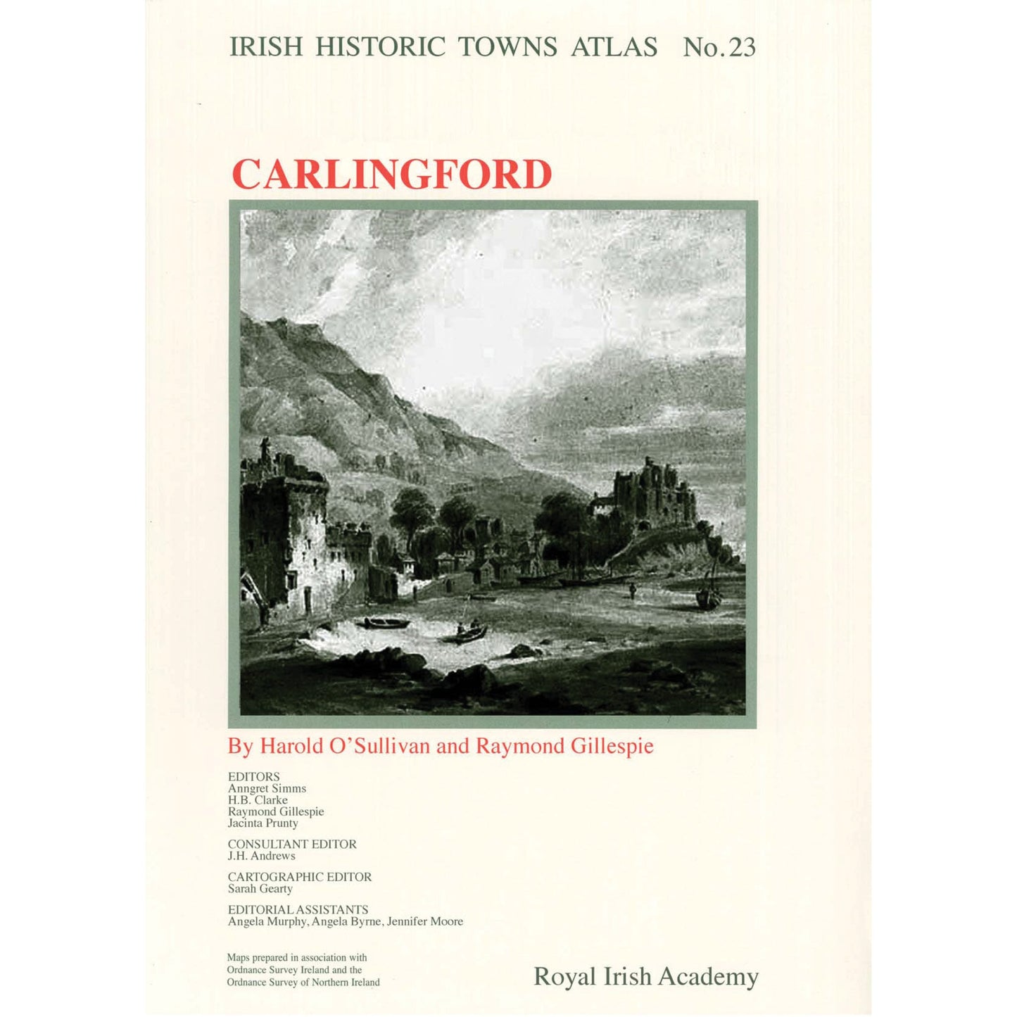
Number 23 in the Irish Historic Towns Atlas series, Carlingford traces the topographical development of this Anglo-Norman town from its earliest times to c. 1900. Carlingford details the growth of this port and fishing town at the gateway to south Ulster and north Leinster on Carlingford Lough. From its Anglo-Norman foundation, the picturesque town attracted many artists and travellers. Here over 20 historical and old views are presented in colour on A3 sheets with additional thematic maps, illustrations and contemporary vignettes in the accompanying text. The extensive topographical gazetteer documents over 450 sites in Carlingford and is accompanied by an essay explaining the urban morphological development of the town. Also included is a CD-ROM of the publication where the text is word searchable and the maps and images are in high resolution, allowing for detailed examination.
Author: Harold O'Sullivan, Raymond Gillespie; Series editors: Anngret Simms, H.B. Clarke, Raymond Gillespie, Jacinta Prunty; Consultant editor: J.H. Andrews; Cartographic editor: Sarah Gearty; Editorial assistants: Angela Murphy, Angela Byrne, Jennifer Moore.
The Irish Historic Towns Atlas is a research project of the Royal Irish Academy and is part of a wider European scheme. www.ihta.ie.
Product details
ISBN:9781904890768
Share

Harold O'Sullivan
Harold O'Sullivan was a former general secretary of the Local Government and Public Services Union (predecessor of Impact) and president of Ictu, the Irish Congress of Trade Unions. Prior to his trade union career, he served as an officer in the Cavalry Corps, and when he retired turned to writing history. He was the author of Irish Historic Towns Atlas, no. 16, Dundalk (2006) and joint author, with Raymond Gillespie, of Irish Historic Towns Atlas, no. 23, Carlingford (2011).
Raymond Gillespie
Raymond Gillespie is an editorial board member of the Irish Historic Towns Atlas, a research project of the Royal Irish Academy. He is a Professor of History at Maynooth University. His main research interest is social change in early modern Ireland. He is joint author with Stephen A. Royle of Irish Historic Towns Atlas, no. 12, Belfast part I, to 1840 (2003) and Belfast c. 1600 to c. 1900, the making of the modern city (2006), as well as Irish Historic Towns Atlas, no. 23, Carlingford (2011) with Harold O'Sullivan.
Browse Books
-
For and against a united Ireland
Regular price From €9.99 EURRegular priceUnit price / per -
Irish STEM Lives
Regular price From €9.99 EURRegular priceUnit price / per -
Ballyshannon/Béal Átha Seanaidh: Irish Historic Towns Atlas, no. 32
Regular price €30.00 EURRegular priceUnit price / per -
Pious and promiscuous – Life, love and family in Presbyterian Ulster
Regular price From €9.99 EURRegular priceUnit price / per


