
Belfast, part II, 1840 to 1900: Irish Historic Towns Atlas, no. 17
Belfast, part II, 1840 to 1900: Irish Historic Towns Atlas, no. 17
Couldn't load pickup availability
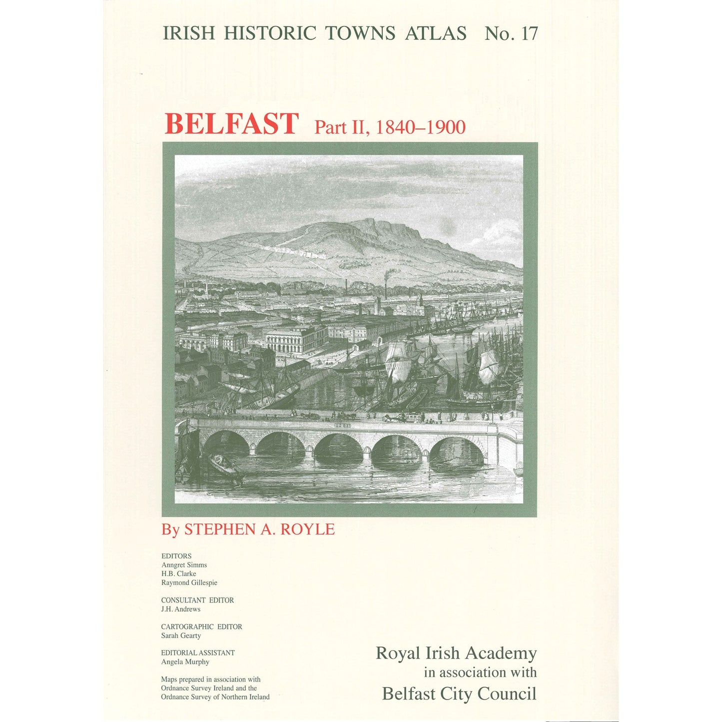
Number 17 in the Irish Historic Towns Atlas series, Belfast, part II, 1840 to 1900 contains maps of Belfast in 1848, 1851, 1860, 1884 and 1900; a large colour reconstruction of the city in c. 1830; insurance maps from 1887 and 1898; Ordnance Survey maps showing Belfast and its surroundings; and a number of smaller black and white maps. The topographical information section lists historical and archaeological details of over 8000 sites and has an essay tracing the development of the city from 1840 to 1900. A map with over 200 historical sites plotted and indexed can be bought separately. Nineteenth-century photographs and two aerial views are included.
Author: Stephen A. Royle; Series editors: Anngret Simms, H.B. Clarke, Raymond Gillespie; Consultant editor: J.H. Andrews; Cartographic editor: Sarah Gearty; Editorial assistant: Angela Murphy.
The Irish Historic Towns Atlas is a research project of the Royal Irish Academy and is part of a wider European scheme. www.ihta.ie.
Product details
ISBN:9781904890263
Browse Books
-
For and against a united Ireland
Regular price From €9.99 EURRegular priceUnit price per -
Ireland: Why it matters to be an island
Regular price From €9.99 EURRegular priceUnit price per -
Drumcondra
Regular price €35.00 EURRegular priceUnit price per -
An spórt agus an réabhlóid in Éirinn, 1912–25
Regular price From €9.99 EURRegular priceUnit price per


