
Armagh: Irish Historic Towns Atlas, no. 18
Armagh: Irish Historic Towns Atlas, no. 18
Couldn't load pickup availability
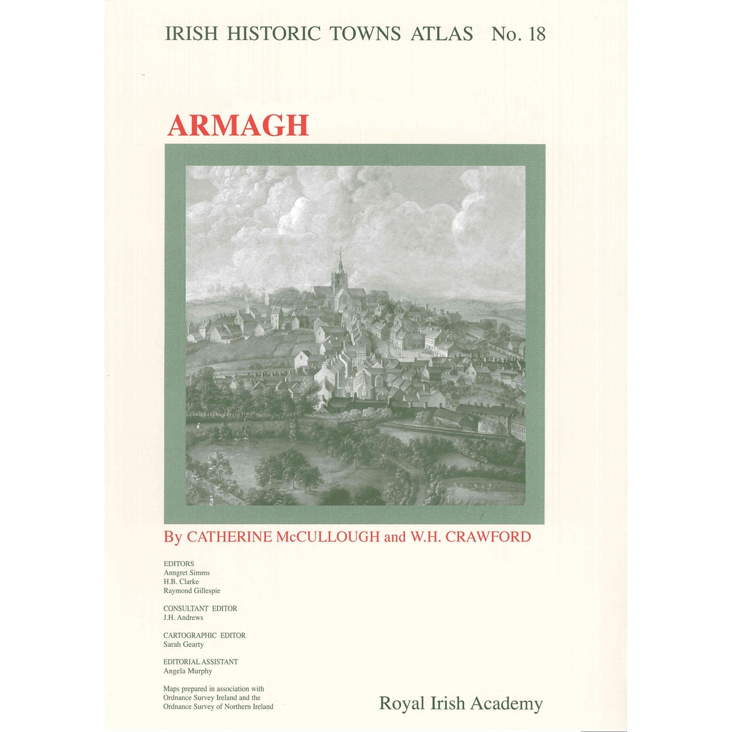
Number 18 of the Irish Historic Towns Atlas series, Armagh contains a topographical section that lists historical and archaeological details of over 1,200 sites, and an essay tracing the development of the city from its earliest origins to 1900. It includes: the earliest map of Armagh from 1602; maps showing Armagh in 1760 and 1766; a large colour reconstruction of the city in c. 1834; a growth map of Armagh to 1900; and a number of smaller black and white maps, which illustrate the text section. It features late nineteenth-century photographs of Armagh. The maps and text are large format and bound in a fascicle.
Series editors: Anngret Simms, H.B. Clarke, Raymond Gillespie, Jacinta Prunty ;Consultant editor: John H. Andrews; Cartographic editor: Sarah Gearty; Editorial assistant: Angela Murphy.
The Irish Historic Towns Atlas is a research project of the Royal Irish Academy and is part of a wider European scheme. www.ihta.ie.
Product details
ISBN:9781904890188
Browse Books
-
For and against a united Ireland
Regular price From €9.99 EURRegular priceUnit price per -
Ireland: Why it matters to be an island
Regular price From €9.99 EURRegular priceUnit price per -
Drumcondra
Regular price €35.00 EURRegular priceUnit price per -
An spórt agus an réabhlóid in Éirinn, 1912–25
Regular price From €9.99 EURRegular priceUnit price per


