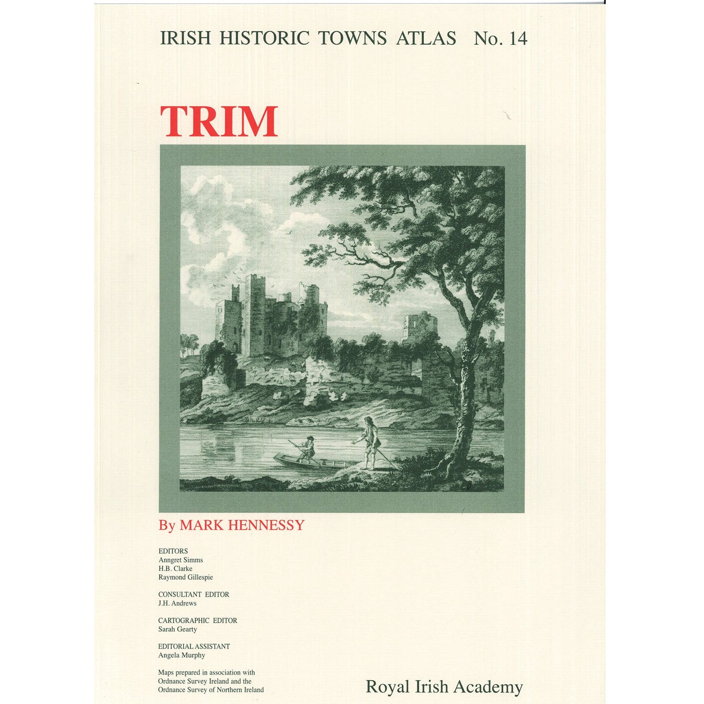
Trim: Irish Historic Towns Atlas, no. 14
Trim: Irish Historic Towns Atlas, no. 14
Couldn't load pickup availability
Number 14 in the Irish Historic Towns Atlas, Trim includes historical details of over 440 sites and a range of large-format maps, reconstructions and views. The growth of Trim is traced from its foundations as an Anglo-Norman town in the late 12th century right up to 1900. The fascicle includes Ordnance Survey and historical maps as well as historic and aerial photographs.
8 pages of coloured maps and plates 410mm x 305 mm; 4 pages of black-and-white maps and plates and 16 pages of text 410 mm x 305 mm; in a folder 410 mm x 305 mm
Author: Mark Hennessy; Series editors: Anngret Simms, H.B. Clarke, Raymond Gillespie; Consultant editor: J.H. Andrews; Cartographic editor: Sarah Gearty; Editorial assistant: Angela Murphy.
The Irish Historic Towns Atlas is a research project of the Royal Irish Academy and is part of a wider European scheme. www.ihta.ie.
Product details
ISBN:9781904890010
Share

Browse Books
-
For and against a united Ireland
Regular price From €9.99 EURRegular priceUnit price / per -
Irish STEM Lives
Regular price From €9.99 EURRegular priceUnit price / per -
Ballyshannon/Béal Átha Seanaidh: Irish Historic Towns Atlas, no. 32
Regular price €30.00 EURRegular priceUnit price / per -
Pious and promiscuous – Life, love and family in Presbyterian Ulster
Regular price From €9.99 EURRegular priceUnit price / per


