

Mullingar: Irish Historic Towns Atlas, no. 5
Mullingar: Irish Historic Towns Atlas, no. 5
Couldn't load pickup availability
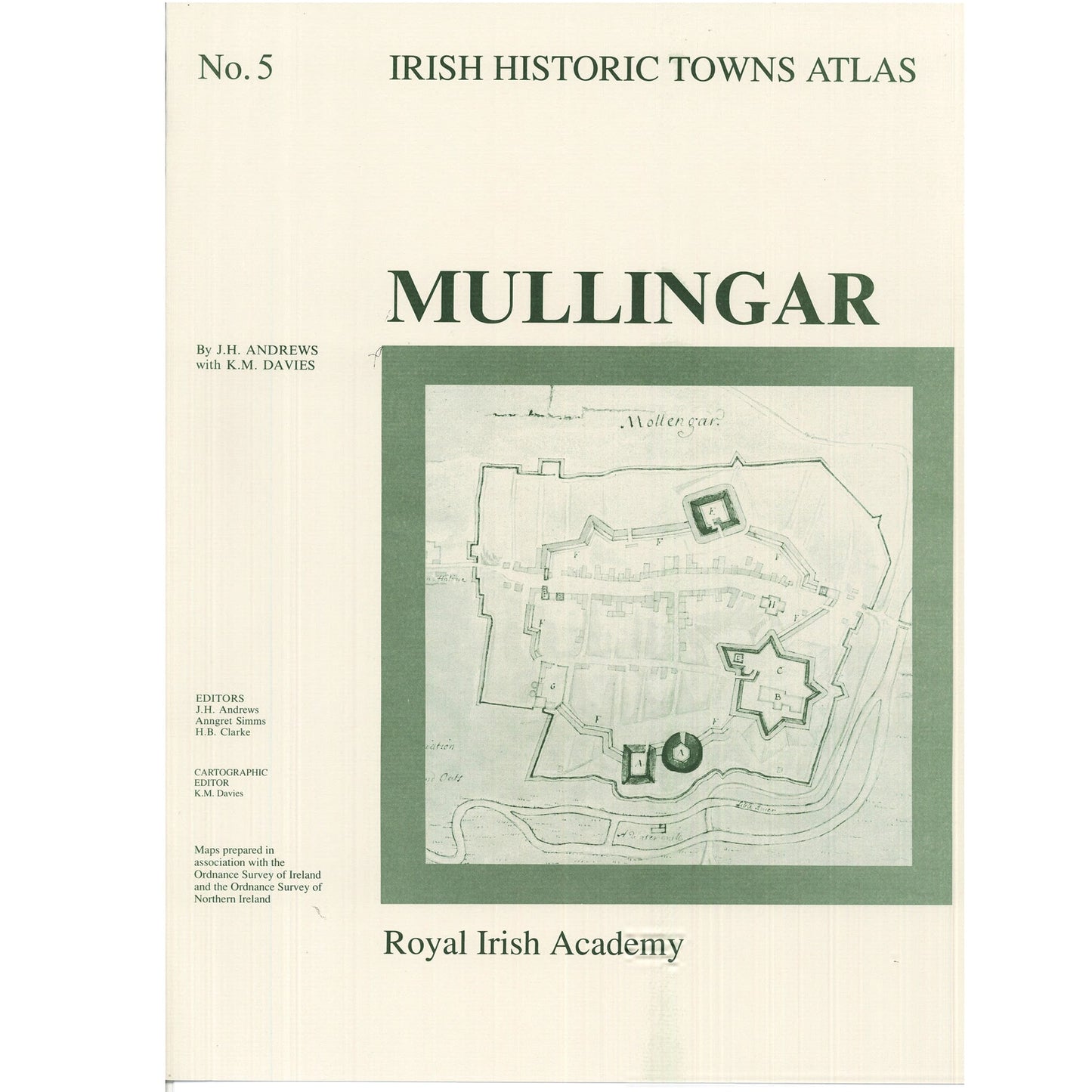
Number 5 in the Irish Historic Towns Atlas series, Mullingar traces the history of this Anglo-Norman town through its cartographic and primary sources from earliest times to c. 1900. The fascicle contains Ordnance Survey and historical maps as well as historic and aerial photographs. An essay describes the topographical evolution of Mullingar and a gazetteer, or topographical information, includes histories of c. 500 sites in the town. These atlases illustrate characteristic periods of town formation in Ireland and reflect the country's cultural identity through the town's topographical history.
Coloured map 410 mm x 610 mm; 8 pages of black-and-white maps and plates and 16 pages of text 410 mm x 305 mm; in a folder 410 mm x 305 mm.
The Irish Historic Towns Atlas is a research project of the Royal Irish Academy and is part of a wider European scheme. www.ihta.ie.
Product details
ISBN:9780901714985
Browse Books
-
The Downing Street Declaration and the origins of the Northern Ireland peace process
Regular price €25.00 EURRegular priceUnit price per -
Ireland: Why it matters to be an island
Regular price From €9.99 EURRegular priceUnit price per -
Drumcondra
Regular price €35.00 EURRegular priceUnit price per -
An spórt agus an réabhlóid in Éirinn
Regular price From €9.99 EURRegular priceUnit price per


