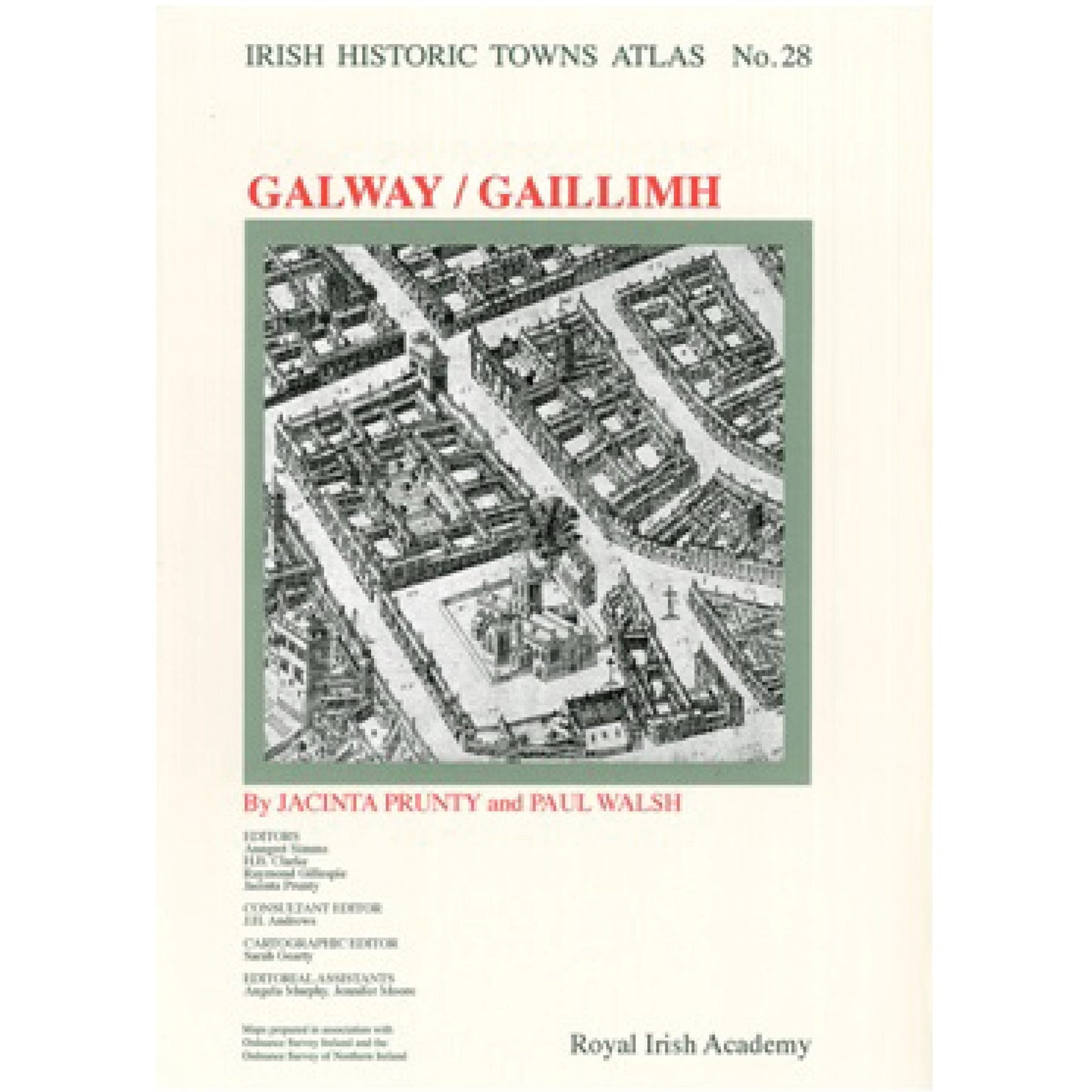
Galway: Irish Historic Towns Atlas, no. 28
Galway: Irish Historic Towns Atlas, no. 28
Couldn't load pickup availability
This atlas traces the growth and development of the city of Galway from its origins as an Anglo-Norman borough and seaport. Over 30 loose, large-format pages reproduce old maps, plans and views, alongside reconstructions and thematic maps to help tell the story of Galway in a visual way. An accompanying text section includes an explanatory essay and historical gazetteer with over 2,500 entries on features of the townscape such as streets, schools, town walls, mills etc. Also included is a CD-ROM where the text is word searchable and the maps and images are in high resolution allowing for detailed examination.
The Irish Historic Towns Atlas is a research project of the Royal Irish Academy and is part of a wider European scheme. www.ihta.ie.
Reviews:
President Michael D. Higgins on IHTA no. 28: Galway:
'My wish is to pay tribute to the scholarship and to honour Jacinta Prunty and Paul Walsh, but also to say to all of the scholars involved - for this is the result of work undertaken by a large team of people - that this is the kind of project that shows that scholars are able cooperate with each other, and do so not as yet another challenging assumption or as a denunciation of any other work, but as a fairly comprehensive invitation to others to attach their work to the project, to take it on, and build more. That is my wish for this project'.
'People in Galway will love many things about it and there are many opportunities for deeper research'.
'I think this is going to be a valuable tool for those teaching about Galway'.
President Michael D. Higgins on the IHTA Project:
'The Irish Historic Towns Atlas project is a valuable source of knowledge and information for those working and teaching in many disciplines, including history, geography, architecture, town planning and archaeology and is now greatly respected as a scholarly resource. What's more, it is the product of so many different scholars cooperating. It is a marvellous piece of cooperation'.
'It is a great indication of what is possible when scholarship is made public. In the end of the day, all scholarship is aimed at advancing knowledge'.
'This is one of the most significant publications on Galway in a long time. No Galway library should be without it, no school, no Old Galway collector [...]. Very highly recommended'. Galway Advertiser. Read the full review here.
Product details
ISBN:9781908996916
Share


Jacinta Prunty
Jacinta Prunty is an editorial board member of the Irish Historic Towns Atlas, a research project of the Royal Irish Academy. She is Head of the History Department at Maynooth University. Her research interests span urban, social and cartographic history with a particular focus on the mapping of towns and on the town itself in nineteenth and twentieth century Ireland. She is joint author with Howard B. Clarke of Reading the maps: a guide to the Irish Historic Towns Atlas (2011) and Galway c. 1200 to c. 1900: from medieval borough to modern city (2015) with Paul Walsh.

Paul Walsh
Paul Walsh has spent his career working in Irish archaeology and has a passionate interest in the history and archaeology of his native city, Galway. His publications include Discover Galway (2001) and he is joint author with Jacinta Prunty of Galway c. 1200 to c. 1900: from medieval borough to modern city (2015) and Irish Historic Towns Atlas, no. 28, Galway/Gaillimh (2016).
Browse Books
-
For and against a united Ireland
Regular price From €9.99 EURRegular priceUnit price / per -
Irish STEM Lives
Regular price From €9.99 EURRegular priceUnit price / per -
Ballyshannon/Béal Átha Seanaidh: Irish Historic Towns Atlas, no. 32
Regular price €30.00 EURRegular priceUnit price / per -
Pious and promiscuous – Life, love and family in Presbyterian Ulster
Regular price From €9.99 EURRegular priceUnit price / per


