
Dublin, part II, 1610 to 1756: Irish Historic Towns Atlas, no. 19
Dublin, part II, 1610 to 1756: Irish Historic Towns Atlas, no. 19
Couldn't load pickup availability
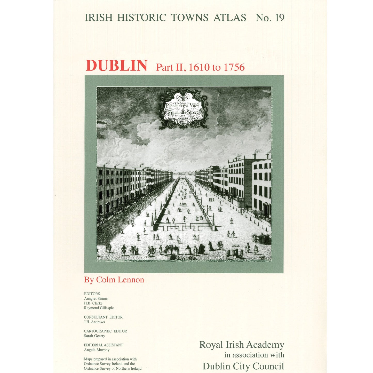
Number 19 in the Irish Historic Towns Atlas series, Dublin, part II, 1610 to 1756 is one of four parts tracing Dublin city from its earliest times to 1900. Dublin, part II follows the growth of the city from the early modern period of 1610 to 1756 with histories of over 2000 sites. A cityscape of streets, markets and schools is referenced in the extensive topographical index and explained in the accompanying essay. The text is punctuated with thematic maps, paintings and prints. Among the 17 maps reproduced in large-format, loose sheets are composite maps by heavyweight map-makers John Speed (1610); Bernard De Gomme (1673); Thomas Phillips (1685); Charles Brooking (1728) and John Rocque (1756). Dublin, Part II follows on from number 11 in the series Dublin, Part I to 1610 (2002).
Published in association with Dublin City Council.
Author: Colm Lennon; Series editors: Anngret Simms, H.B. Clarke, Raymond Gillespie; Consultant editor: J.H. Andrews; Cartographic editor: Sarah Gearty; Editorial assistant: Angela Murphy.
The Irish Historic Towns Atlas is a research project of the Royal Irish Academy and is part of a wider European scheme. www.ihta.ie.
Product details
ISBN:9781904890447

Colm Lennon
Browse Books
-
For and against a united Ireland
Regular price From €9.99 EURRegular priceUnit price per -
Ireland: Why it matters to be an island
Regular price From €9.99 EURRegular priceUnit price per -
Drumcondra
Regular price €35.00 EURRegular priceUnit price per -
An spórt agus an réabhlóid in Éirinn, 1912–25
Regular price From €9.99 EURRegular priceUnit price per


