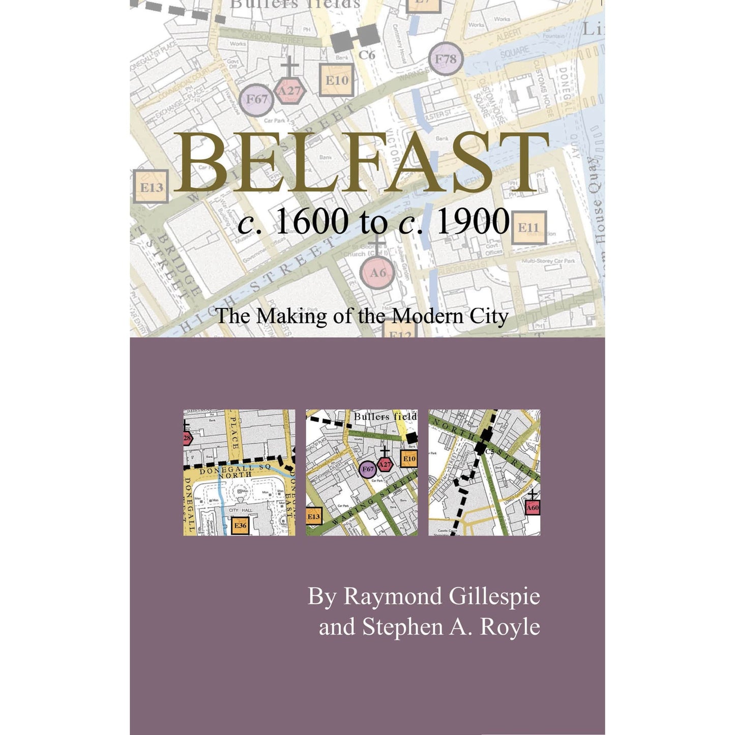
Belfast c.1600 to c. 1900: the making of the modern city
Belfast c.1600 to c. 1900: the making of the modern city
Couldn't load pickup availability
This publication includes a large map with an introductory essay folded to a handy pocket size. Over 200 historical sites have been mapped and indexed. Colour and symbols are imposed on a modern base so the reader can walk the streets of Belfast with a view to the past, map in hand. It is an ancillary publication to Irish Historic Towns Atlas, no. 17, Belfast, part II, 1840 to 1900 by Stephen A. Royle.
Authors: Raymond Gillespie, Stephen A. Royle; Cartogrpahy: Sarah Gearty
Series editors: Anngret Simms, H.B. Clarke, Raymond Gillespie, Jacinta Prunty; Consultant editor: J.H. Andrews; Cartographic editor: Sarah Gearty; Editorial assistant: Angela Murphy.
The Irish Historic Towns Atlas is a research project of the Royal Irish Academy and is part of a wider European scheme. www.ihta.ie.
Product details
ISBN:9781904890201
Share

Raymond Gillespie
Raymond Gillespie is an editorial board member of the Irish Historic Towns Atlas, a research project of the Royal Irish Academy. He is a Professor of History at Maynooth University. His main research interest is social change in early modern Ireland. He is joint author with Stephen A. Royle of Irish Historic Towns Atlas, no. 12, Belfast part I, to 1840 (2003) and Belfast c. 1600 to c. 1900, the making of the modern city (2006), as well as Irish Historic Towns Atlas, no. 23, Carlingford (2011) with Harold O'Sullivan.
Browse Books
-
For and against a united Ireland
Regular price From €9.99 EURRegular priceUnit price / per -
Irish STEM Lives
Regular price From €9.99 EURRegular priceUnit price / per -
Ballyshannon/Béal Átha Seanaidh: Irish Historic Towns Atlas, no. 32
Regular price €30.00 EURRegular priceUnit price / per -
Pious and promiscuous – Life, love and family in Presbyterian Ulster
Regular price From €9.99 EURRegular priceUnit price / per


